Where did the river go?
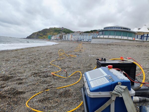
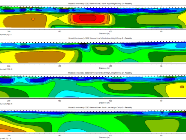
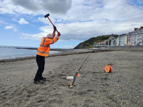
In support of a planned nearshore sea-defence scheme, LandScope have deployed an integrated geophysical approach to the mapping of a historical river channel.
Having been diverted several centuries earlier, the geomorphological footprint of the original channel has become a key component of the sea-defence design.
LandScope completed a programme of Electrical Resistivity Tomography (ERT), seismic refraction and Multichannel Analysis of Surface Waves (MASW) over multiple beach transects to determine the bedrock and marine deposits profile.
Another fascinating application for our integrated geophysical service.
Read more about our geophysical and river surveys here.