Topographical
Land Survey
LandScope has been providing high-quality land survey services to the architecture, engineering, and construction industries since 2004 and invests in the latest technologies to ensure our surveys are delivered to the highest accuracy and resolution. As a leading land survey company in the UK, we offer the most diverse range of services to enable a bespoke survey design and highest technical certainty in support of your project.
Our team of experienced and chartered land surveying professionals are available to advise how best to acquire, manage and deliver survey data to ensure achievement of your project objectives.
TOPOGRAPHICAL SURVEYS
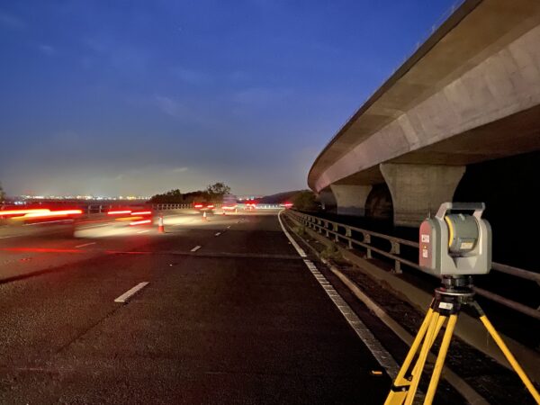
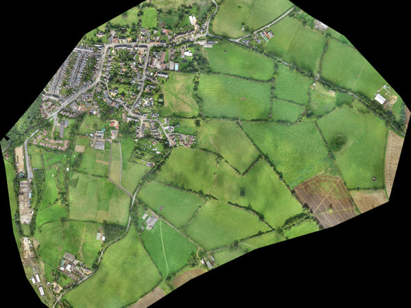
Topographical surveys are an accurate representation of an area of interest and include all natural and man-made features within. Our experienced topographic land surveyors rapidly and precisely capture rich feature detail using a combination of modern Robotic Total Stations, GNSS sensors and terrestrial laser scanners (Lidar). Challenging and large-scale environments benefit from our UAV and mobile mapping systems.
SURVEY OUTPUTS
Survey outputs are focused on data interoperability and cater to a wide variety of 2D and 3D outputs, supporting common engineering and GIS software. Our topographical surveys are compliant with industry specifications (RICS / TSA / EA) and can be tailored to meet specific customer requirements. Our diverse portfolio includes city centre developments, highways, canals and rivers, university campuses, airports, industrial, and military sites.