They’re not sheep
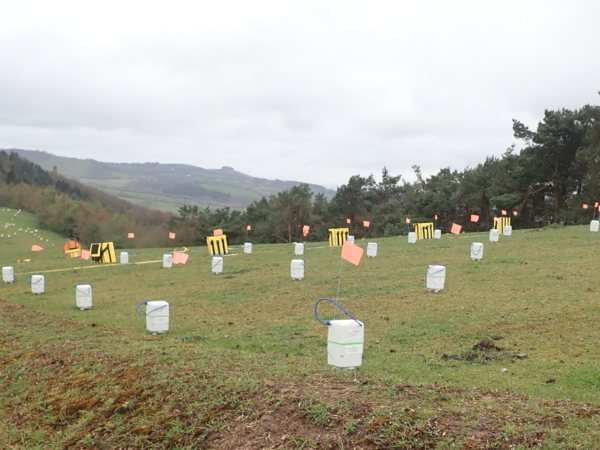
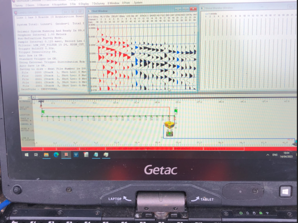
Only the white specs in the distance are sheep! The white shapes in the foreground are geophones wired in seismic lines and used with an active source (hammer and hitting a plate) for Geode Seismograph analysis. There are also SmartSolo wireless seismometers distributed around the site for the continuous recording of seismic data.
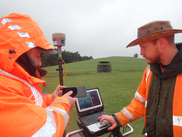
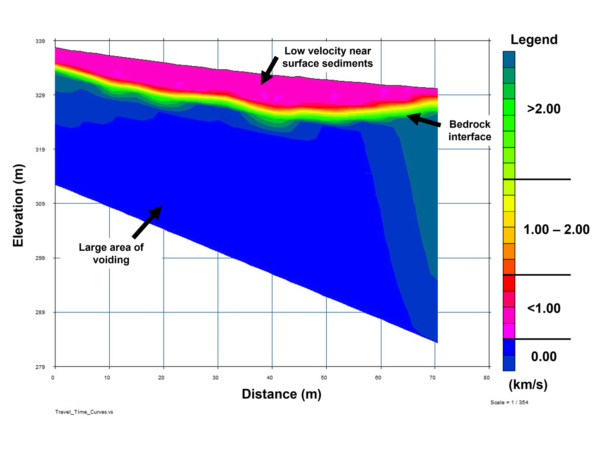
All part of a seismic imaging survey above the abandoned Snailbeach Lead Mine in Shropshire. The seismic array was installed over an extensive underground cavern – previously modelled internally with LiDAR via a rather challenging adit entrance. Rarely does the geophysicist have the luxury of underground visibility prior to conducting survey, so this case provides an invaluable opportunity to verify, calibrate, refine and train the team.
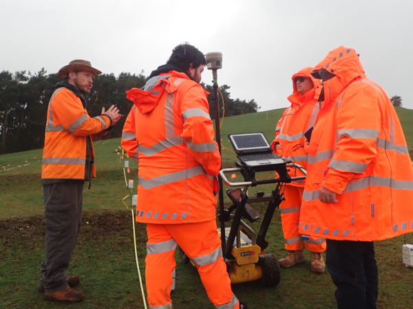
Our Seismic Specialist, Joe Chapman, organised a training day in conjunction with Geomatrix Earth Science, which we hope will become a regular event on the LandScope calendar. Joe said “Despite the rain, it was great to spend the day exploring the full capabilities of Multichannel Analysis of Surface Waves (MASW) and Seismic Refraction survey techniques with the team. I would recommend seismic surveys for anyone that needs to locate a sinkhole, investigate landfill, or map voids. They are also a fantastic tool for soil-bedrock mapping, stratigraphic mapping, bedrock depth estimation, water table depth estimation, or determining the material properties of rocks and other subsurface materials.”
Find out more about our underground survey services on our website or get in touch to talk to us about your project.

