The 3 Dimensional Challenge of UXO
Our marine geophysicists have enjoyed a busy summer of Unexploded Ordnance (UXO) mapping in various coastal, and ports and harbour environments.
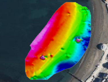
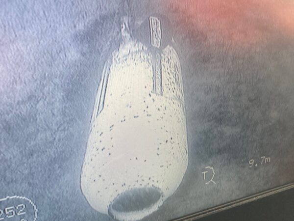
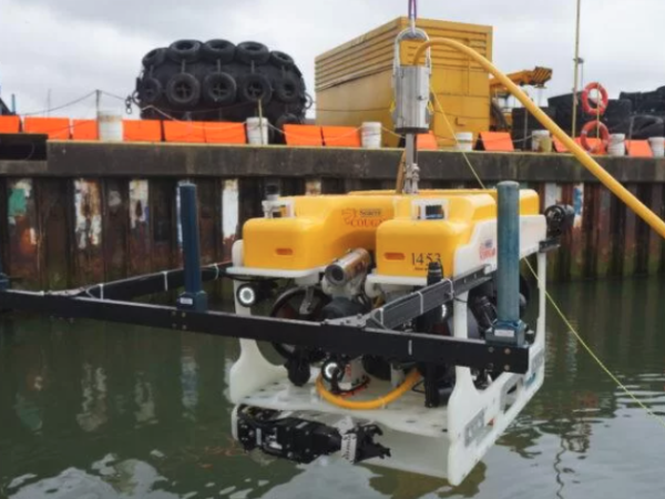
Near-surface mapping has included ROV deployment of passive magnetic sensors, high-resolution vessel-towed arrays in conjunction with detailed multibeam and sidescan sonar systems.
But, of course, not all UXO is at or near the seabed. Working with Lankelma and 6-Alpha, our team have incorporated down-hole mag-cone data to create a full 3D ALARP risk model, enabling the placement of both temporary and permanent structures on the seabed.
Please make contact should you require any further information on our marine site investigation services.