Seeing the Ground from the Trees
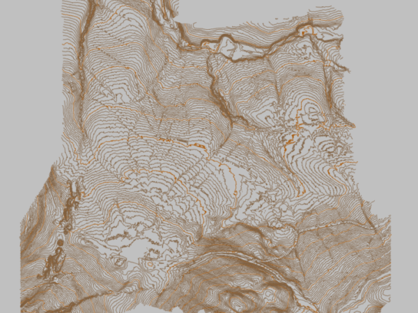
A traditional survey of 9km2 of tree covered Scottish upland – peat bogs included – would be a season’s work. To develop a high-resolution digital terrain model (DTM) of such a challenging landscape with traditional methods is almost unimaginable.
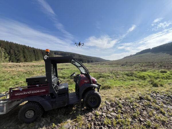
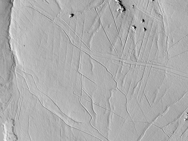
Thankfully, there is now another way. Our YellowScan UAV-mounted LiDAR system allows us to survey great swaths of such terrain in a single day. The subsequent application of sophisticated filtering and classification algorithms literally separates the ground from the trees.
A most satisfying DTM experience!