Outfall Mapping in Shifting Sands
Much of our legacy sea-bound drainage outfall infrastructure is challenging to find and inspect. With the passage of time and shifting sands we can often only rely on out-dated records and the deployment of our marine geophysical sensors.
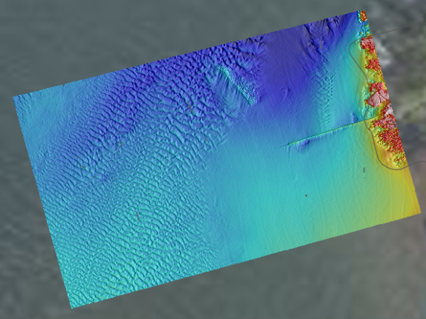
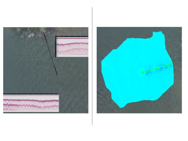
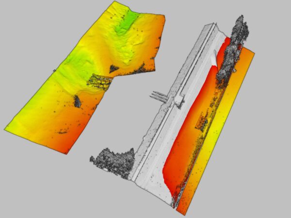
The application of high-resolution multibeam sonar will provide certainty on un-covered elements and the location of diffuser systems. Buried sections will require further attention with the deployment of acoustic sub-bottom profiling – Innomar Compact+ – and marine magnetometry – Geometrics G-882. These two sensors complement each other in the mapping of both ferro-magnetic and non-metallic systems.
LandScope have recently completed multiple outfall mapping surveys in estuarine near-shore and reservoir environments.
For further information on our marine mapping capabilities please contact us.