Orcadian Depths
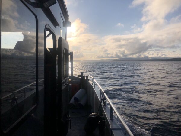
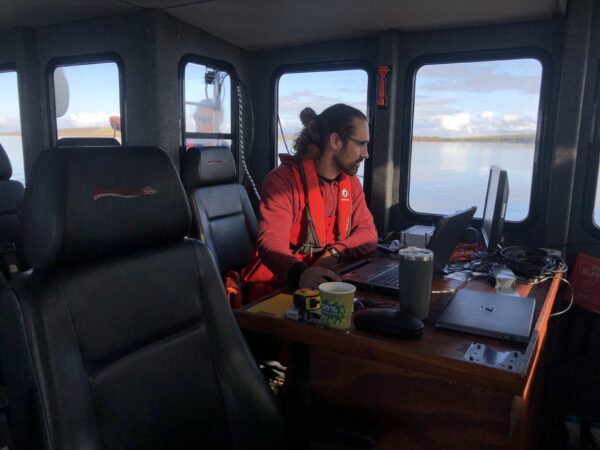
We have recently mobilised to the Orkney Islands for a late summer multibeam bathymetric campaign.
We are working the approaches to Scapa Flow – unearthing the plentiful shipping wrecks and historical context – whilst focusing on the main objective : multibeam bathymetry to IHO 1a specification over an area of 80km2.
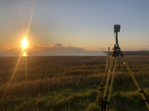
Some of the survey areas have remained based on lead-line survey charting – so GNSS-aided inertial navigation and high resolution swath bathymetry provides a real step change in technology.
Given the late season we have mobilised a local vessel of opportunity – m.v.”Northerly Explorer” – and hope to complete before the inevitable closure of weather window……fingers crossed!


