Mapping the Void
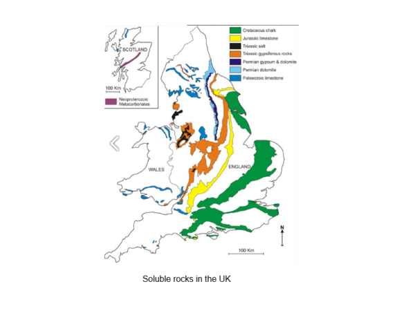
The UK’s increasingly wet climate appears to be increasing the amount of dissolution features (sink holes) beneath our highways network. These features are particularly prevalent in gypsum and salt rich rock types.
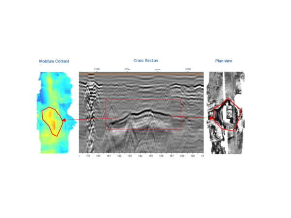
Ground Penetrating Radar (GPR) provides an excellent resource for the detection and mapping of void features which may exist beneath distressed carriageway sections.
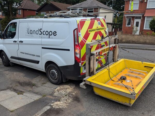
LandScope’s Mobile Ground Penetrating Radar (MGPR) system is vehicle mounted and therefore mitigates the need for formal traffic management, ensuring data is collected rapidly without disruption to road users and residents.
Some of these features grow to a substantial size and dense GPR arrays serve to accurately map their planar extent and depth below ground level.
Early detection through MGPR data is essential to allow completion of remediation works prior to any possible subsidence event.


