Camden Bridge Survey
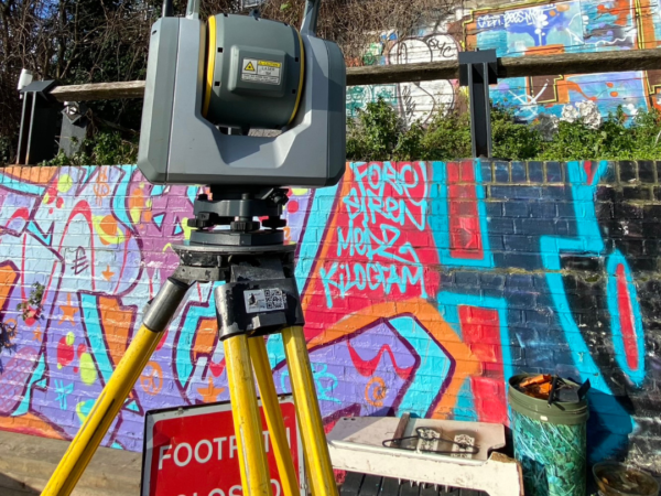
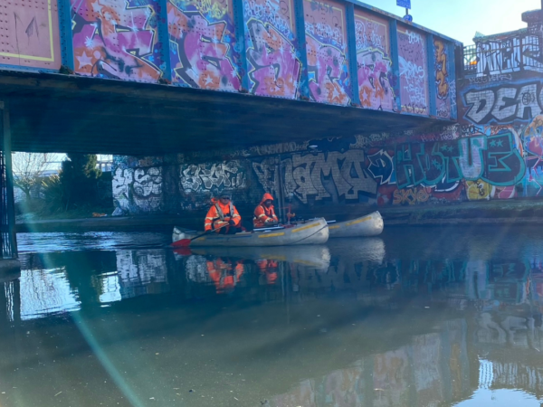
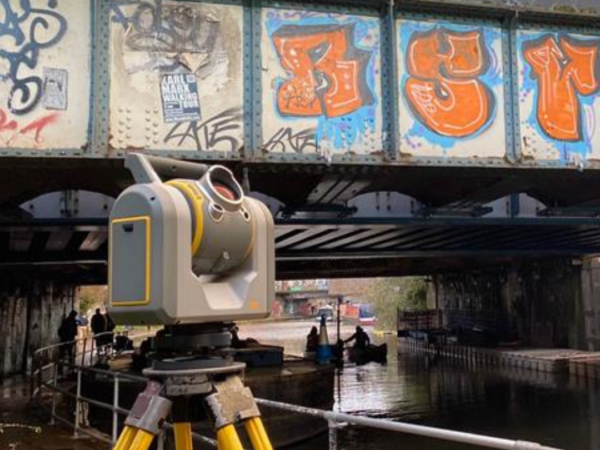
Last week, The LandScope Team were down in Camden to integrate high-accuracy terrestrial laser scanning with multibeam and high-density static mechanical sonar.
In doing so, the team created a 3D point cloud of several bridges for asset monitoring and inspection to aid restoration work where required.
The methods used remove the need for tactile dive surveys, reducing risk and improving safety. LandScope’s ability to integrate several survey techniques and deploy solutions on a variety of mobile platforms reduces time on site.


