An Improved Image
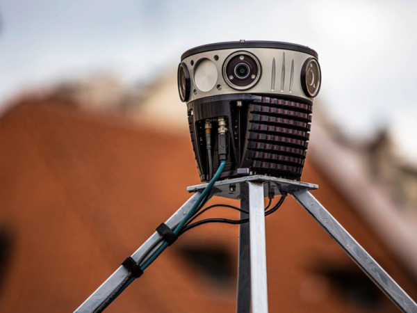
LandScope has recently invested in taking its Mobile Mapping to the next level with a new team member: The Mosaic51.
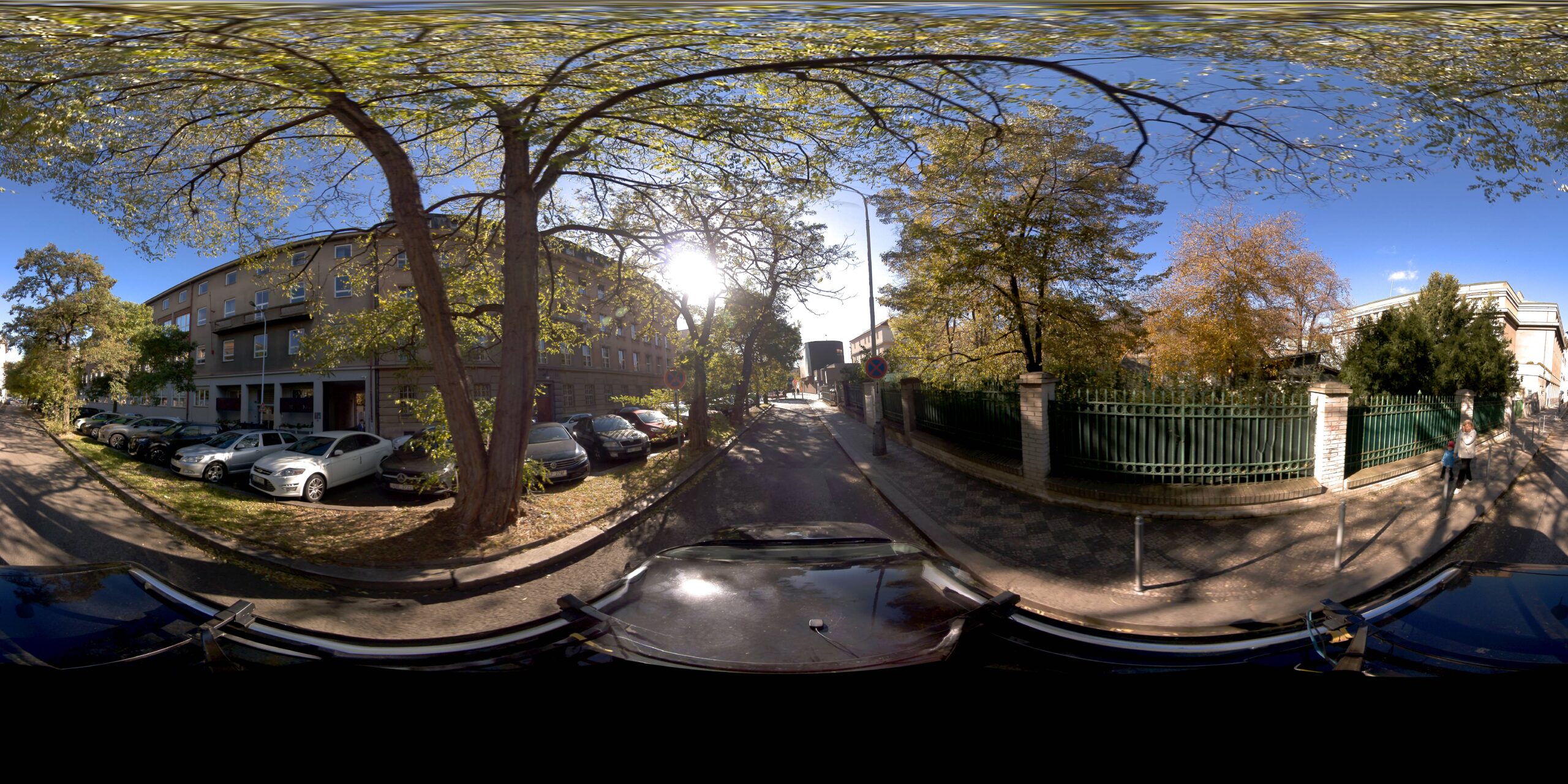
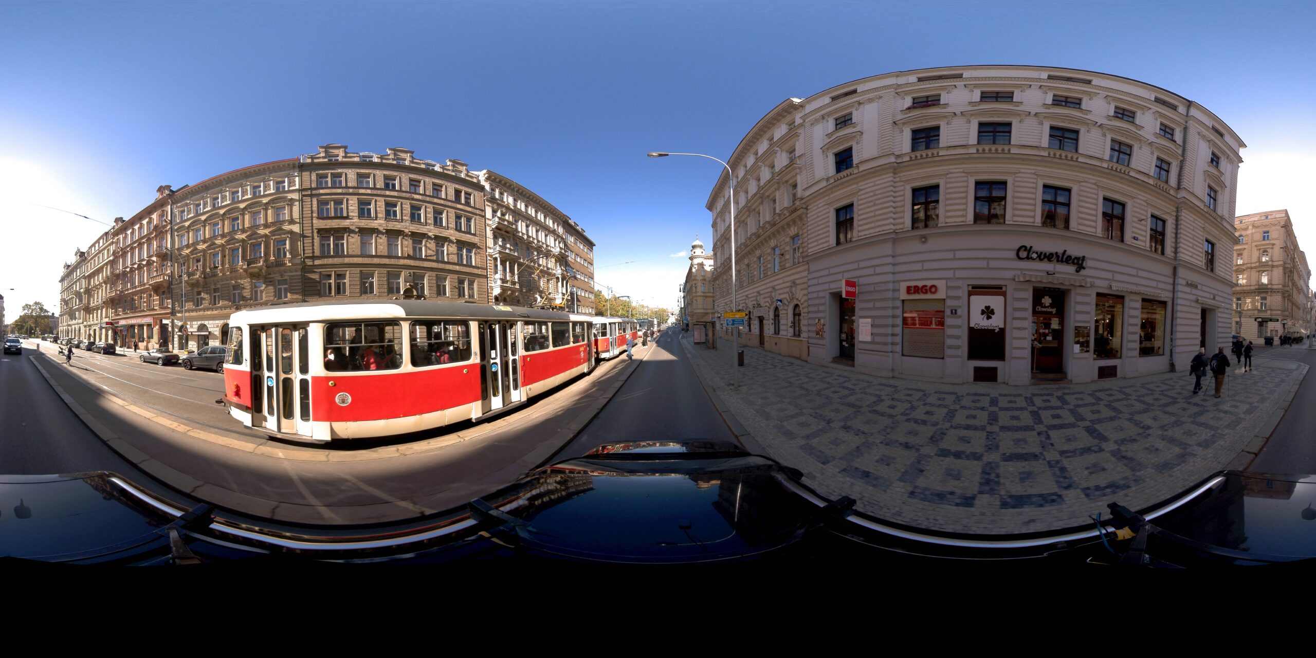
The Mosaic51 is the first 360-degree camera specifically built from the ground up for mobile mapping, infrastructure surveying and road maintenance, offering the highest resolution image capture with a built-in GPU for computing power onboard.
The Mosaic system will be integrated into all our mobile systems, including survey vessels and mobile mapping/GPR vehicles.
With the highest resolution, standalone unit, we can quickly capture the necessary street-level images of your sites, streets, and towns to improve record-keeping and decision-making.


