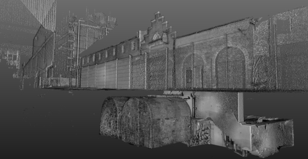
21st Century Technology to Unearth Medieval Walls
We were recently commissioned to investigate and model a section of Carlisle’s medieval city walls over which today’s city has been built.
Carlisle’s city walls were a defensive structure surrounding the centre of Carlisle dating from the latter half of the twelfth century.
The presence of any significant voiding was of specific interest for consideration in the planning of surface loading.
Multi-frequency Ground Penetrating Radar was deployed to investigate from the surface, with laser scanning utilised to accurately model associated sub-surface wall structures. The project provided our Geophysical Team a rare and fascinating opportunity to view and reconcile data from above and below the ground.

